This week’s post takes a leaf out of your local supermarket’s sale strategy. If “2 for the price of 1” helps shift chickens, deodorant, toilet paper and what-not, it should also attract the punters to the Easy Hiker blog.
Today, we shall give you a taste of two of the outstanding Ligurian trails, the north-to-south Alta Via Monte Liguria and the east-to-west Sentiero Arcobalone in one hike.
That, at any rate, was the idea. In the end, it did not quite work out that way, but hey, that’s Italy for you. Italy is the most charming, easy-to-love and most beautiful country in Europe …
… but it is not without some serious flaws. Whether and to what extent that is part of the country’s charm may be debatable but ultimately irrelevant.
In the end, you must – as everywhere else in life – take the rough with the smooth.
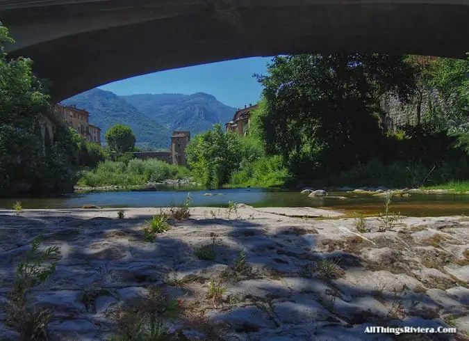
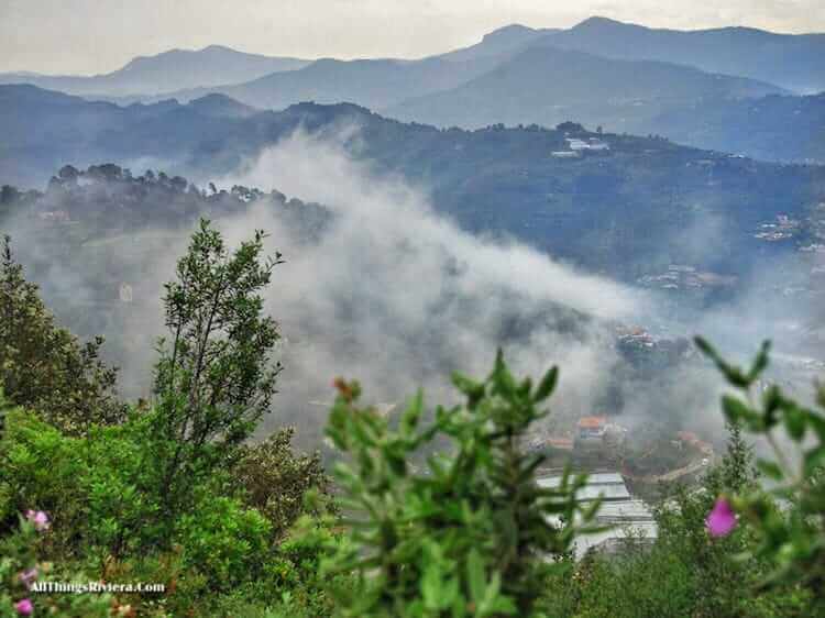
Our adventure in the outstanding Ligurian trails starts here
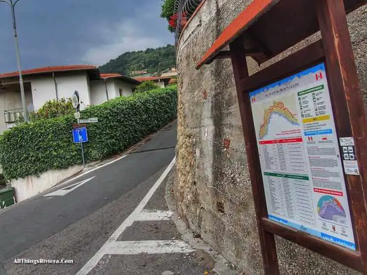
The Alta Via Monte Liguria (marked AV on red and white stripes) is easy to find, as befits one main Alpine hiking routes.
Make your way to the back of Ventimiglia train station (walk to Via Scalo Merci and the railway overpass) to the bottom of Via Maule …
… and off you go.
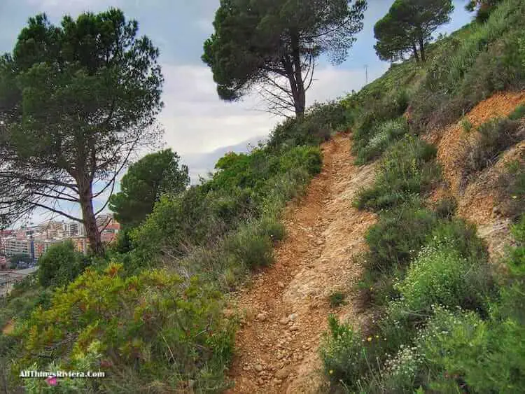
Only the first few minutes of the trail are (inevitably) suburban in character, and soon, you will leave the asphalt for a steep climb up to a hamlet called Monterosso, going from level zero to a height of 258 metres in little more than 30 (exhausting) minutes.
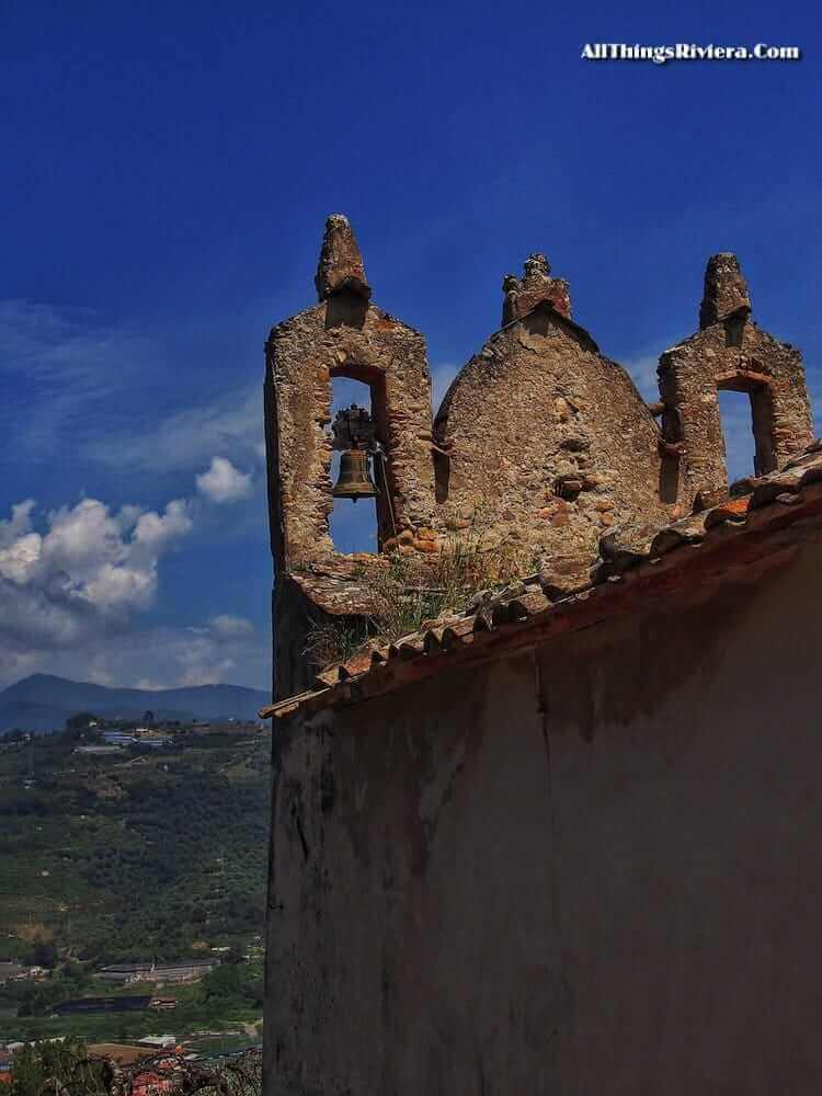
After that, however, you can catch your breath since you will be walking mainly in the flat through a surprisingly lush landscape, which provides an interesting contrast to the coastal hinterland on the French side of the border.
There, the change from coastal to semi-alpine is very sudden, but in Liguria, rolling hills rather than stony cliffs dominate the landscape, and the mood – at least on a cloudy morning – can almost seem dreamily Teutonic.
Soon after the church of San Giacomo, however, …
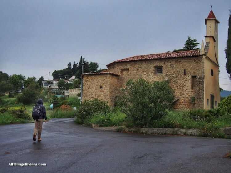
… problems began to develop.
According to our map, a right turn into the Sentiero Arcobalone was imminent but stubbornly failed to materialize. There were several false alarms, all the paths branching off towards our right eventually revealing themselves as blind alleys. After about one hour, it became more probable with every twist of the trail that we had missed the turn.
Eventually, we turned around and went back. One of the blind alleys we had taken, it turned out, had not been blind after all, but from where we stood, it had been impossible to spot the sign to Camporosso (our direction ).
So here is our advice: when you see this fork of the road, with the AV continuing on the left, …
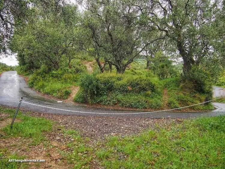
… walk down on your right into a small country road and turn left.
The Sentiero Arcobalone – which we had now reached, we assumed, although there was no sign – largely proceeds on asphalt. That’s the way it is in this part of Italy.
The coastal lands are mainly owned by smallholders, and the only alternative to the use of public roads would be to route the hiking paths through olive orchards and private gardens.
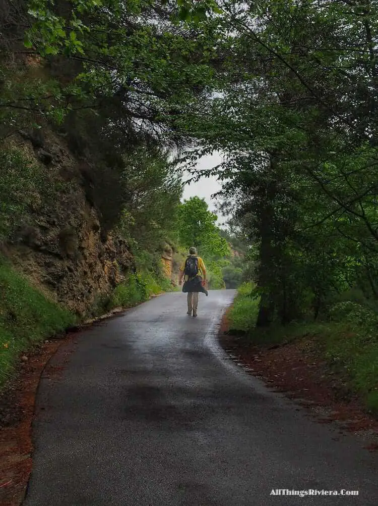
So asphalt it is, by and large, but we met little or next to no traffic at all, and at any rate, you will be more than compensated by the views which are spectacular even by local standards.
It took a while before it sank in that, while admiring the snow-covered peaks in the distance, …
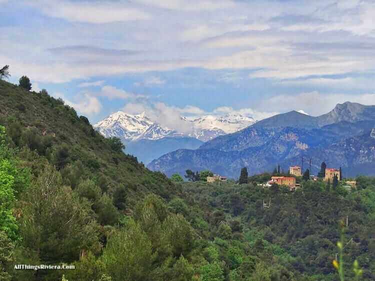
… we were probably staring at some of the rain which had fallen earlier that same day.
At the Casa Mimosa plant nursery, turn right. (There is another craftily hidden sign.) From here on, the occasional yellow markers that have so far identified the trail are getting fewer and fewer. Perhaps, we thought, the people assigned to mark this section had run out of paint.
Behind the Bed & Breakfast, on a meadow where several foot paths meet, there are no more yellow markers at all. We tried out all the paths, but always ran into a gate or a private driveway, sometimes fairly quickly, sometimes after 10 minutes.
By which time we were no longer interested in finding the Sentiero Arcobalone. All we wanted was to get down the bloody hill on our left, in whichever way. We could see the town of Camporosso (from where we planned to take a bus back to Ventimiglia), but no obvious way down. For a while, we seriously considered sliding down on our backpacks.
Until one of the house owners – who must have seen us discussing our options in his “blind alley“ driveway – took pity on us and inquired whether we had lost our way.
“To Camporosso?” he said, thought a little while, and then made a sweeping gesture with his arm. “You have to go aaall the way back. All the way.” Not what we wanted to hear.
But before we could ask how far “all the way” was, he said that there was, at any rate, a foot path, actually more of a rumour than a proper path as far as he was concerned , since he had been living there for 4 years and had never met anybody who had used it.
We found that foot path right behind this ruined farmhouse …
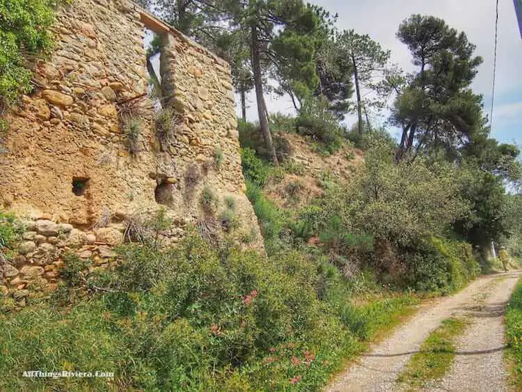
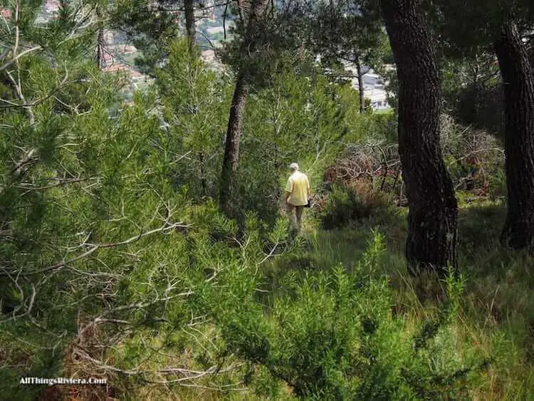
… uphill first and then steeply – very steeply – downhill, although you must understand that it is a path only in the broadest sense of the word. Sometimes, it is merely overgrown, but occasionally, it becomes barely visible and seems to stop altogether.
There is a lot of dead wood, dead cacti, …
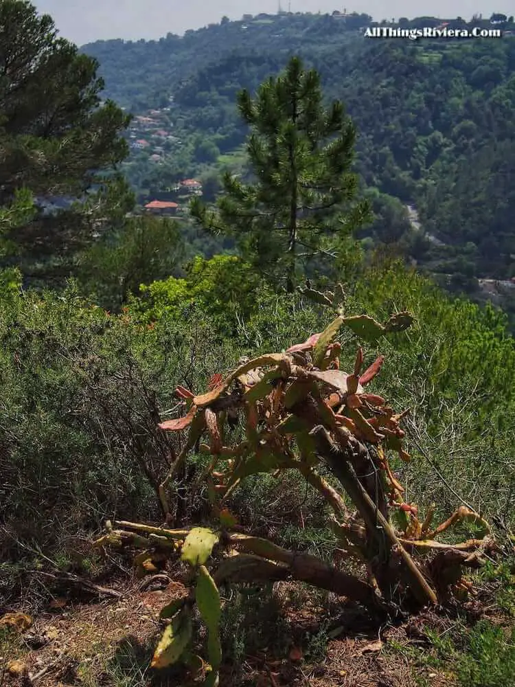
… and you always half-expect to find something else dead behind the next twist.
The worst thing was, however, that we did not know whether the path would lead all the way down or perhaps end suddenly over a precipice, leaving us with the option of jumping down (riding on our backpacks, perhaps) or returning “all the way back”, to the Casa Mimosa presumably.
Mercifully, half-way down the hill, the path stops and merges into an asphalted road. (Never was an asphalted road more welcome.)
Turn left here, and after 20 minutes of a steep descent, you will be relieved to find the main road from Ventimiglia to Dolceacqua.
On your right hand side, behind the traffic lights, there is a bus shed. (There is no fermata bus stop sign, and no schedule is on display, but if you look closely, somebody has written BUS in yellow letters on the asphalt, 20 years ago by the looks of it since the paint has nearly all worn off.)
While we were waiting for the bus (careful: there is a reasonable level of service mid-afternoon, but no departures between 1530 and 1830 hours), we agreed that this hike had been an instant classic.
Every once in a while, something like that – unforeseen problems, near calamities, misfortune and adversity – is required to throw the rest of one’s travel schedule into relief.
This two outstanding Ligurian trails were more Adventures for Intermediates than Adventures for Beginners. But if you are up for that, then Italy has plenty in store for you.