Germany is Europe’s premier hiking country: nowhere else on the “old continent” will you be able to find a similarly large number and variety of well-designed and diligently maintained trails.
Few hikers outside of Germany, however, will be able to name a trail that does not run either through the Black Forest or along the central section of the Rhine (the one with all the castles and vineyards).
Fewer people still will have personally experienced any of these trails: on most of the German hiking routes, you meet at best a handful of foreign visitors. Which is a pity.
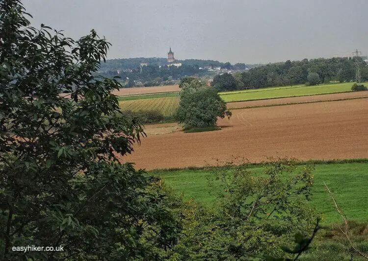
Take the Lower Rhine Valley hiking routes, for example: the dreamlike and slightly melancholic landscape in Germany’s extreme northwest can boast of surprisingly diverse features and an interesting history, having balanced precariously for centuries right on the main fault line of European history, that between Latin and Germanic tribes, Catholicism and Protestantism, the German (or Prussian) Empire and the allies of France.
On top of that, the countryside is all flat, allowing you to go easy on your legs and joints.
Showing You the Lower Rhine Valley Hiking Routes
For this purpose, we shall first have to travel to Kleve (approx. 1 hour to the west of Düsseldorf).
Going there by train can, admittedly, be a trifle disheartening. The landscape comes across as fairly bleak, particularly early in the morning when thick banks of mist appear to rise from the fields, even in August. One suspects that it is not so much that autumn arrives early here but that autumn is this landscape’s natural state.
It is unlikely that Kleve will make you feel much better. The town is, in all honesty, not one of Germany’s (many) hidden gems.
Cross the square in front of the train station into the pedestrianized town centre, continuing across the bridge and then left.
Take another left turn into Wasserstrasse and turn right into the footpath before the bridge behind the Town Library.
Now, this is a sudden and total change of landscape. It is as though you had stepped right into a fairy tale: as though the Cinderella town of Kleve had put on its magic shoes.
This magic is largely man-made. Much of the countryside around you is the work of Prince Moritz von Nassau Siegen (1604-1679), blue-blooded adventurer and ambitious landscaping engineer, who came to Kleve from – of all places – Brazil where he had served the Dutch king as Governor General.
In 1649, he left the tropics to run the western outpost of the budding Prussian empire on behalf of Prince Friedrich Wilhelm. One may be tempted to think that, after Brazil, the Prince would have sought to escape from this “provincial backwater” as quickly as possible, but he fell in love with the place and the countryside, never really leaving it again.
And to make up for what he had given up in Brazil, he tried to provide his new surroundings with some local version of the tropical lushness he had left behind.
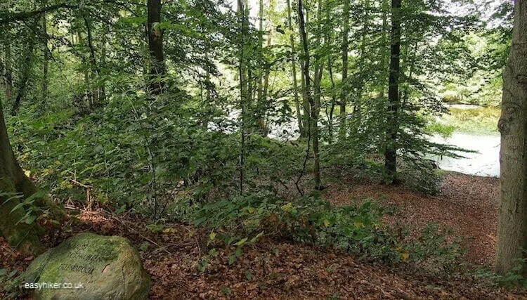
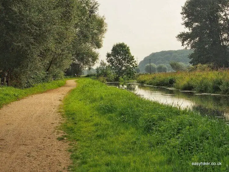
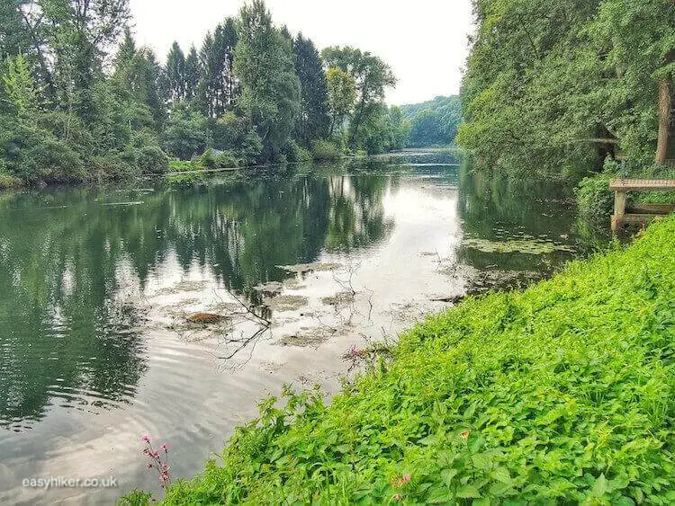
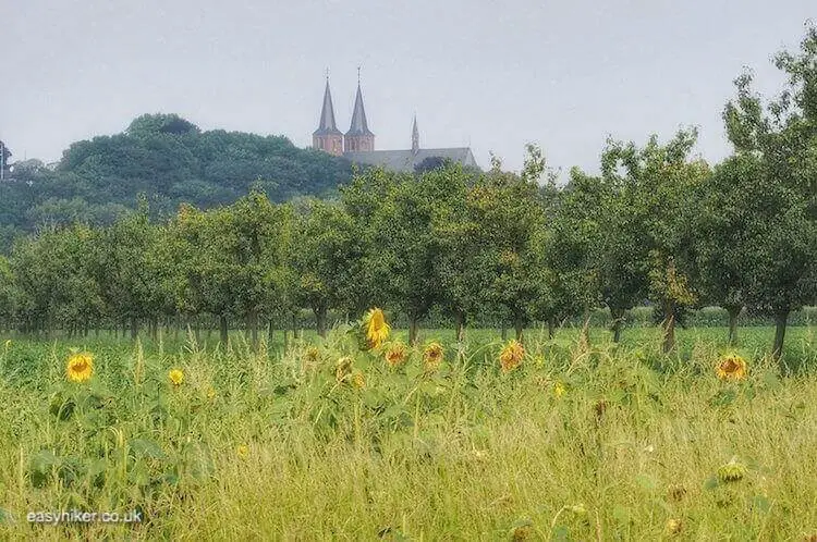
The Prince Moritz Trail alongside the Kermisdahl (the body of water on your left hand side, a former side arm of the Rhine), is approx. 4 km long and still echoes the scale of the Prince’s landscaping ambitions, although most of the buildings that once stood here have since disappeared.
In the 17th century, the Kermisdahl was lined by little palazzi where musicians would have played on many a summer night – or where a gentleman could withdraw with the lady who had caught his eye during one of the prince’s summer parties. Baroque architecture and landscaping, after all, served to demonstrate power and to provide a backdrop for pleasure, or – ideally, of course – both at the same time.
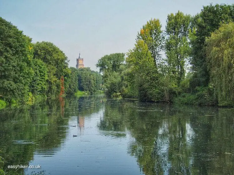
The Prince Moritz Trail – marked “X” (white on black) throughout – mostly follows the Kermisdahl, moving away from it only briefly to take you through an alley of fruit trees, which is straight as a die (also a design of the Prince) …
… and past a picturesque sunflower field.
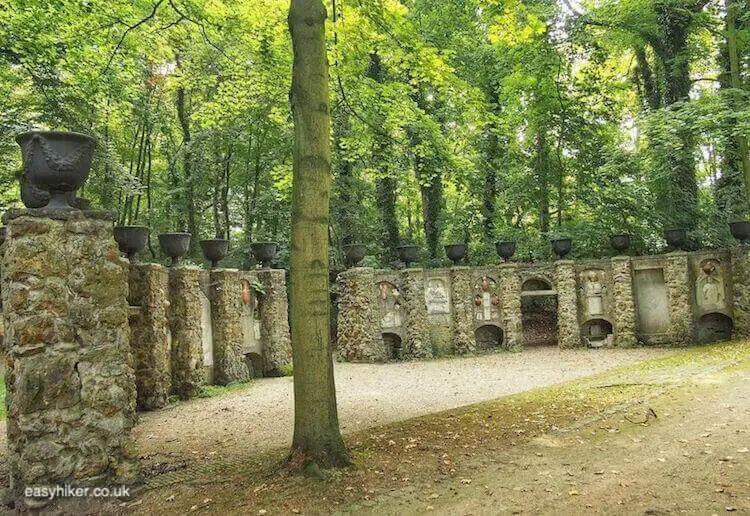
Towards the end, the trail also includes a brief stretch on a busy highway, but after 50 metres or so, you turn left into a small forest for one structure that has not been removed: this is the grave of Prinz Moritz who had returned to his beloved gardens at Kleve from Utrecht – where he had served as a Governor for 2 years – to die here in 1679, aged 75.
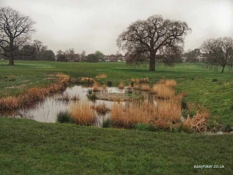
The trail continues slightly uphill. Slopes and ridges are not a natural feature of the landscape: virtually all elevations in the park have been artificially created to provide the Prince and his guests with (otherwise rare) views over the landscape.
The elevation we are ascending (no, not “climbing”) is called the Papenberg and is special inasmuch as it was engineered to overlook what was once the most elaborate part of the park, an asterisk pattern of footpaths with a fountain in the middle.
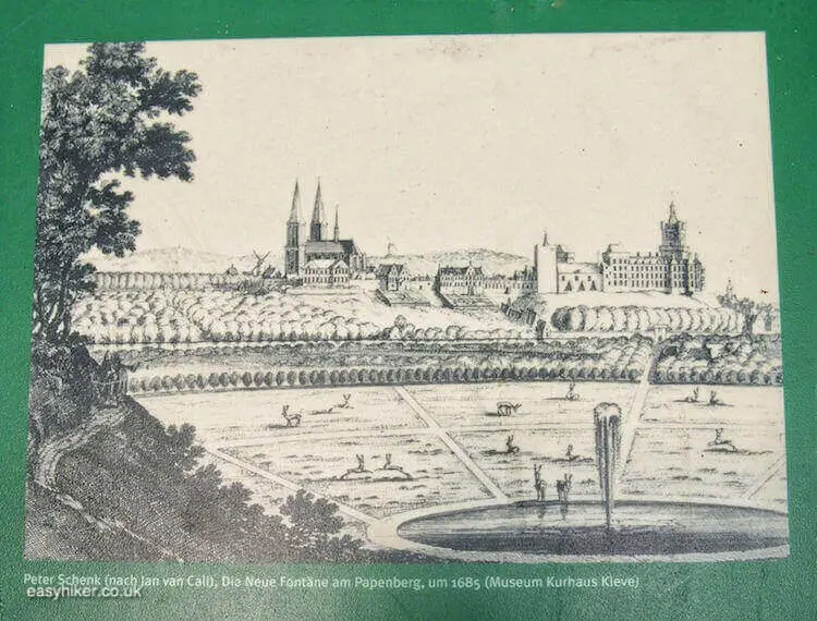
It is unclear to what extent the Prince’s plans were implemented, because the plans are all that we have left. Whatever gardens may have stood here once have long since disappeared.
If it is true, as Lewis Mumford says (in The City in History) that Baroque planners “not merely regimented space but also sought to congeal time”, you can mark down the Kleve Park as a failure, because time has so clearly erased many of the original features.
Turn left out of the forest now, and you will arrive at the end of the Prinz Moritz Trail after approx. 200 metres.
Next week, we will be entering a different landscape – and a different era in history.